Empowering Change with Science-Driven Innovation

Enhance your environmental reputation with data-driven insights for a more sustainable world

Land use change

Monitor land use changes to make better informed decisions

Land use changes occur constantly and at various scales with specific and cumulative effects on the environment. Agricultural and land development are two primary areas of concern.

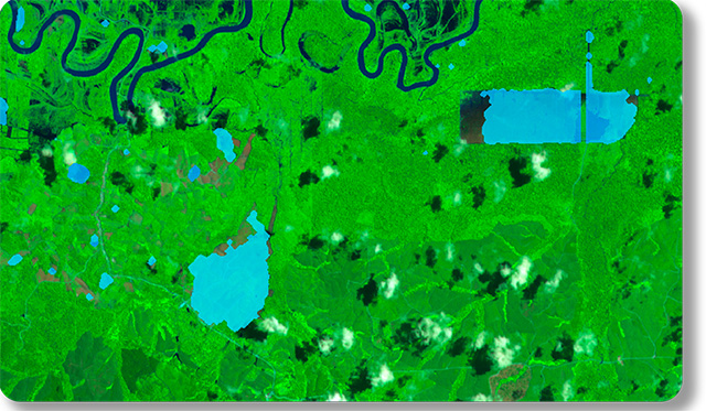
Agricultural land use can affect the quality of water and watersheds, loss of native habitats, and can even accelerate or exacerbate the spread of invasive species.

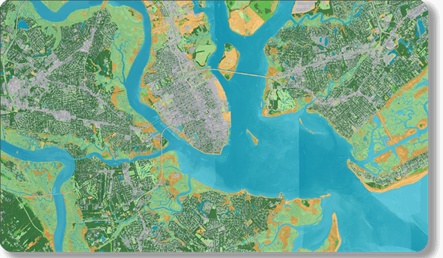
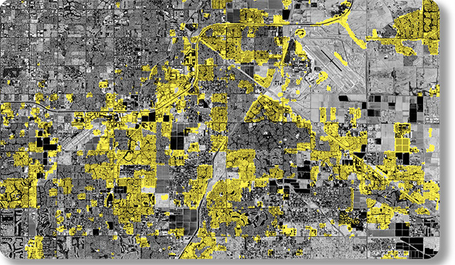
Land development contributes to inhibiting water flow and contamination through water and air. Urbanization leads to the loss of trees and shrubs and the absorption of more heat by pavement, buildings, and other sources–affecting global climate and air quality.

Through the use of technology we can monitor land use changes to make better informed decisions to address business needs in a more environmentally friendly manner to meet regulations.

Meet deforestation regulations head on and take action on sustainability commitments

Quantify progress toward deforestation commitments

Understand changes to the natural landscape

The past few centuries have seen a dramatic change in the way land is used, with more than half of the world’s habitable areas being dedicated to agriculture today. By understanding changing landscapes around the world, businesses and governments are better able to allocate food and natural resources, predict population growth and resource demand, and improve sustainable initiatives.

capabilities.climate-solutions.land-use.landcover.640x373

Landcover mapping

Remote sensing provides multi-spectral, and multi-temporal satellite images for accurate mapping, resulting in a basic inventory of land resources. Mapping can be scaled for your area of interest. Land use classification is used to better understand how land is being used, for example, urbanization areas vs forestry, and establish resource of supply and demand.

Deforestation

Ten thousand years ago, 6 billion hectares of habitable land was covered by forest. Today, only 4 billion hectares are left. Developments, whether agricultural or structural, play a huge hand in deforestation.

As more sustainability regulations are being passed, companies need the right solutions to comply. Using satellite data, Descartes Labs accurately monitor deforestation to help you meet your obligations.

Learn more about Descartes Labs Deforestation →

Construction starts

New constructions predict urban growth, thereby indicating demand on materials such as steel. Descartes Labs can detect areas of new construction sites over satellite imagery to deliver customers key insights around the pace of new construction, a critical indicator of commodity price shifts. Procurement and Traders can use the insights for their purchasing or trading strategies. Insurance companies also benefit from the insights.

Learn more about Price Forecasting →

Be at the forefront of the Net Zero movement with complete ESG insights

Talk to an expert to learn how Descartes Labs can grow your business.