Exploration Reports
Analysis ready remote sensing reports
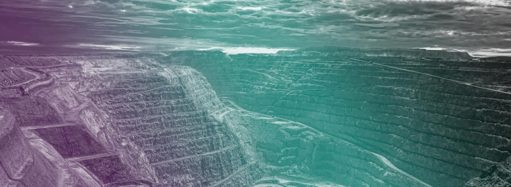
Powered by Marigold
Mineral exploration, delivered.
Our processing power.
Your property.
Access exploration-ready spectral mapping and mineral indices to drive your porphyry and epithermal projects forward, without getting lost in the raw data.
Jump straight into interpretation with all the information you need about your AOI, powered by our market-leading mineral exploration software, Marigold, and proprietary Fused Bare Earth Composite dataset, and delivered directly to your inbox.
Each property is manually evaluated by our team on expert spectral geologists to ensure your custom report contains the most relevant and useful deliverables.

WHO WE SERVE
Property-scale mineral exploration
Junior Explorers
Map patterns in lithology and alteration
Delineate and refine target areas
Prioritize field work
Mergers & Acquisitions
Assess property potential
Evaluate prospectivity
Compare properties with existing deposits
Investors
Identify undervalued properties by alteration footprints
Reevaluate portfolio holdings
Determine expansion potential
AOI Guidelines
Exploration reports are best suited for the following deposit types:
- Porphyry/epithermal
- Magmatic
- Vein-hosted Au
- Li/REE
Areas with heavy vegetation or water coverage provide additional challenges for remote sensing exploration and may not be suitable for the reports.
We will assess each AOI to determine feasibility and appropriate deliverables.
When providing a vector file of your AOI, please note:
- Files should include a single polygon outlining the area where you would like to receive data for your report. Areas outside of your AOI will be removed.
- If your AOI has an irregular aspect ratio (very tall or wide), the images included in your report may be cropped for visual clarity. Digital deliverables will include the full extent of your submission.

Report Tiers

Plans & Pricing
Standard Report
Property-scale report and digital image files of relevant mineral indices, ready for your analysis.
Starting at $8,800
What's included:
- True and false color composites.
- Up to 3 RGBs.
- Up to 8 Fused Mineral Indices.
- Silica Index.
- Up to 3 Ternary Ratios.
- Principal components analysis and minimum noise fraction.
- Delivered as a PDF report and geotiff files.
Premium Report
Receive additional mineral indices and interpretation from our in-house spectral geologists.
Starting at $16,400
What's included:
- True and false color composites.
- Up to 5 RGBs.
- Up to 8 Fused Mineral Indices.
- Up to 3 ASTER Emissivity Indices.
- Up to 5 Ternary Ratios.
- Basic interpretation of results.
- Principal components analysis, minimum noise fraction, and spectral classification (project-dependent).

Looking to do it yourself?
We've got you covered.
Discover Marigold, our powerful remote sensing mineral exploration software, designed specifically for geologists.